When Is A Hurricane Considered To Have Made Landfall
There's something both mesmerizing and terrifying about hurricanes. We watch them churn across the ocean, track their projected paths with bated breath, and then the question always arises: When exactly does a hurricane officially make landfall? It's more than just a meteorological technicality; it's a crucial point that influences everything from emergency response to insurance claims.
Understanding when a hurricane is considered to have made landfall isn't just for weather nerds! It has very real implications for everyday life. Knowing this helps us interpret weather reports more accurately, assess potential risks to our homes and families, and understand the timeline of storm impacts. For instance, a hurricane making landfall 50 miles away could still bring significant storm surge and flooding to your coastal community. Accurately gauging the situation allows for better preparation and safer decision-making.
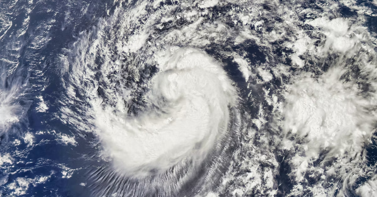
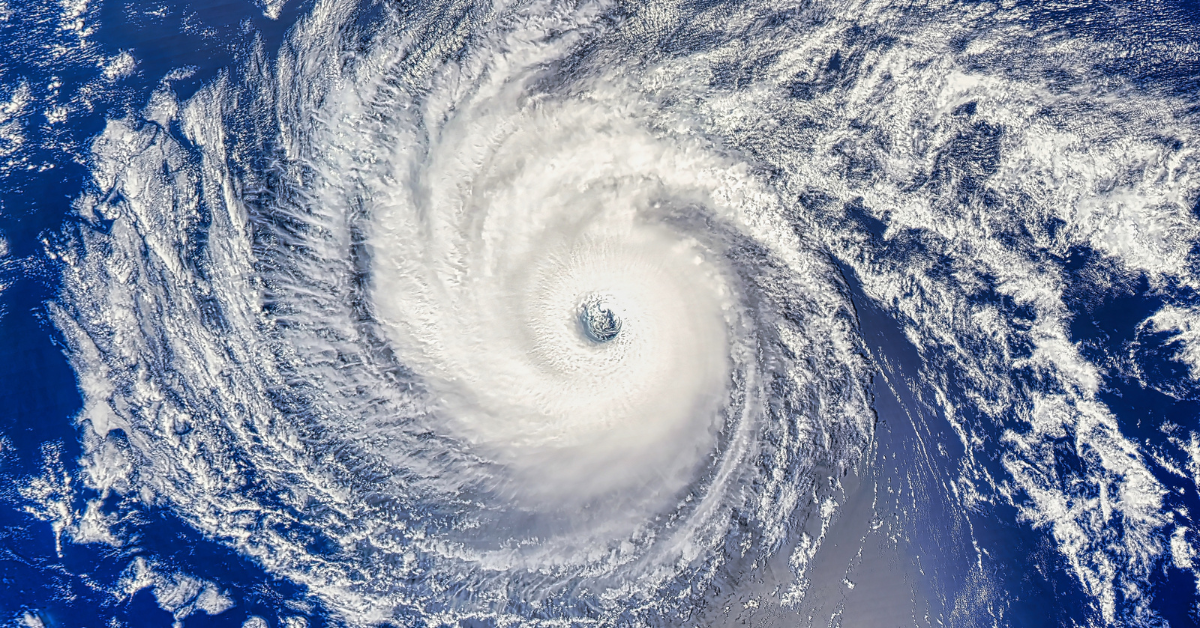
So, what's the definition? Landfall is defined as the moment the eye of the hurricane crosses the coastline. Think of it like this: the hurricane is a massive, swirling doughnut, and the "hole" in the middle (the eye) has to physically move over land. This is different from when the outer bands of the storm begin to impact the coast. Those outer bands can bring heavy rain, strong winds, and even tornadoes well before the eye reaches land. Therefore, landfall isn't simply when the first raindrops fall or when the wind starts howling.
Must Read
You might hear the term "direct hit" used interchangeably with landfall, but it's important to understand the subtle difference. A direct hit implies the area is significantly impacted by the core of the storm, regardless of whether the eye made a precise crossing. Landfall is a more precise geographical marker. Think of it this way: A hurricane could make landfall just north of your town, but you could still experience a direct hit due to its size and intensity.
Common examples of hurricane landfalls that have shaped our understanding include Hurricane Katrina (2005) which made landfall in Louisiana, Hurricane Harvey (2017) which stalled over Texas after landfall, causing catastrophic flooding, and Hurricane Ian (2022) which devastated parts of Florida. Each of these events highlighted the importance of understanding the timing and location of landfall in order to prepare appropriately.
To enjoy tracking hurricanes and understand their impact more effectively, consider these tips:
- Use reliable sources: Stick to official weather organizations like the National Hurricane Center (NHC) for accurate information and forecasts.
- Pay attention to the cone of uncertainty: This shows the likely path of the storm's center, but remember that impacts can extend far beyond the cone.
- Focus on all hazards: Don't just focus on wind speed; consider storm surge, flooding, and tornadoes.
- Understand the difference between a hurricane watch and a warning: A watch means conditions are possible, while a warning means they are expected.
- Have a plan: Develop a hurricane preparedness plan for your family and practice it regularly. Knowing what to do before a storm hits can make all the difference. Proactive preparation is key!
By understanding the definition of landfall and staying informed about hurricane threats, we can better protect ourselves and our communities from these powerful forces of nature. So, the next time you see a hurricane approaching, remember it's not just about when the rain starts; it's about when that eye makes its official crossing.