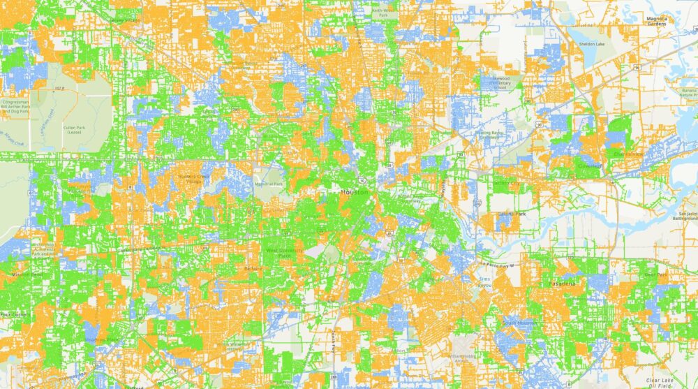
Map Of Power Outage In Houston

Picture this: It's a sweltering Houston afternoon, you've just settled down with a freshly brewed iced tea (because, Texas), and you're about to dive into that thrilling new Netflix series. Suddenly, a little flicker. Then, silence. The hum of the fridge dies, the AC goes quiet, and your glorious flat-screen turns into a very expensive, very dark mirror. Your phone, naturally, is at 12%. Sound familiar?
You know the drill, right? First, you peek out the window. Is it just your street? Is your neighbor's porch light off too? (Spoiler alert: probably). Then comes the frantic scramble for a dying phone or laptop, praying for enough juice to do the one thing every Houstonian does when the lights go out: check the map. The legendary CenterPoint Energy outage map.
The Digital Lifeline (and Source of Anxiety)
Ah, the map. For anyone living in this wonderfully wild city, it's less a utility tool and more a digital oracle. It’s where we all converge in our moments of darkness, a glowing beacon of information (or, let's be honest, a glowing beacon of frustration) on a dying screen. You know the one I'm talking about, don't you?
Must Read
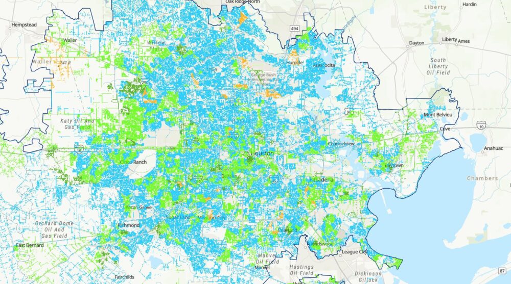
It’s not just some pretty picture, folks. This map is a dynamic, near-real-time display of where the power has gone to chill out for a bit. Little red dots pop up like an angry rash across the city, each one representing a cluster of homes, businesses, and dreams of cool air suddenly put on hold. You zoom in, you zoom out, you refresh it with the fervor of someone checking lottery numbers. "Is my dot gone yet? What about my mom's house? Is that whole quadrant still out?"
You find your street, your neighborhood, and then the critical data appears: the number of customers affected, and the all-important, often-changing Estimated Time of Restoration (ETA). Let me tell you, that ETA is a rollercoaster of emotions. Sometimes it's minutes, sometimes it's hours, and sometimes it's just a shrug emoji in digital form. You've probably seen it jump from "2 hours" to "tomorrow morning" in a single refresh. It’s a special kind of torment, isn't it?

More Than Just Dots on a Screen
But why does this map hold such a grip on us Houstonians? Well, for one, we deal with a lot. From hurricanes that try to rearrange our coastline to those infamous summer thunderstorms that roll in like an angry god, our power grid gets a workout. And when it’s 95 degrees with 90% humidity, being without AC isn't just an inconvenience; it's a survival challenge. That map becomes your primary planning tool:
- Do I need to eat all the ice cream now before it melts?
- Should I go stay with a friend who still has power?
- Is it worth driving to a coffee shop just to charge my phone?
It’s a map of strategic decisions, people!
The map also fosters a weird sense of community. You see your whole zip code lit up red and you realize, "Okay, I'm not alone in this suffering." There's a strange comfort in knowing thousands of others are also staring at their screens, hoping their little red dot disappears. It's a collective, unspoken sigh of relief when you see your particular outage shrink, or better yet, vanish entirely.
So, the next time the lights go out, and you find yourself frantically searching for that trusty CenterPoint map, just remember: you're not just looking at a digital representation of power lines. You're looking at a map of shared experiences, a testament to our reliance on infrastructure, and a constant reminder to always charge your portable power bank. Because when that glorious moment comes and the lights flicker back on, and your little red dot vanishes from the screen, that first blast of AC air feels like pure, unadulterated victory. And you, my friend, have survived another Houston power adventure. Until next time!