How High Does A Hurricane Go

Ever gazed up at the sky on a perfectly clear day and just wondered how far those fluffy clouds really go? Or maybe you’ve been on a plane, cruising at what feels like the very top of the world, and thought about what lies beyond? Well, when it comes to something as mighty as a hurricane, its reach into the sky is far more profound than you might imagine. It’s not just a swirl on the ocean surface; it’s a towering behemoth that stretches miles and miles above us, a true atmospheric skyscraper.
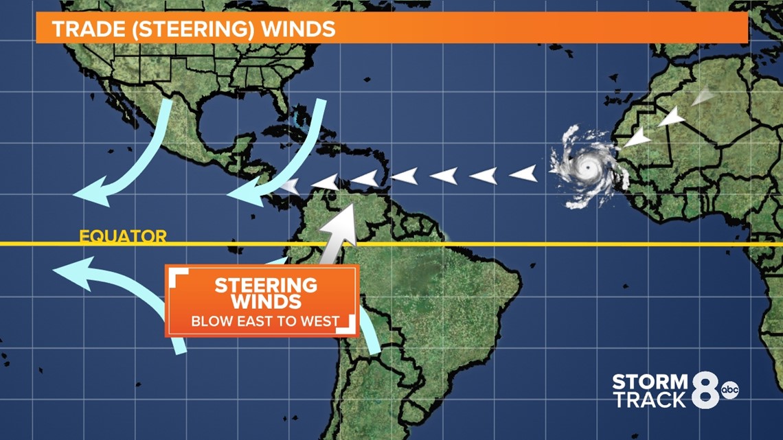
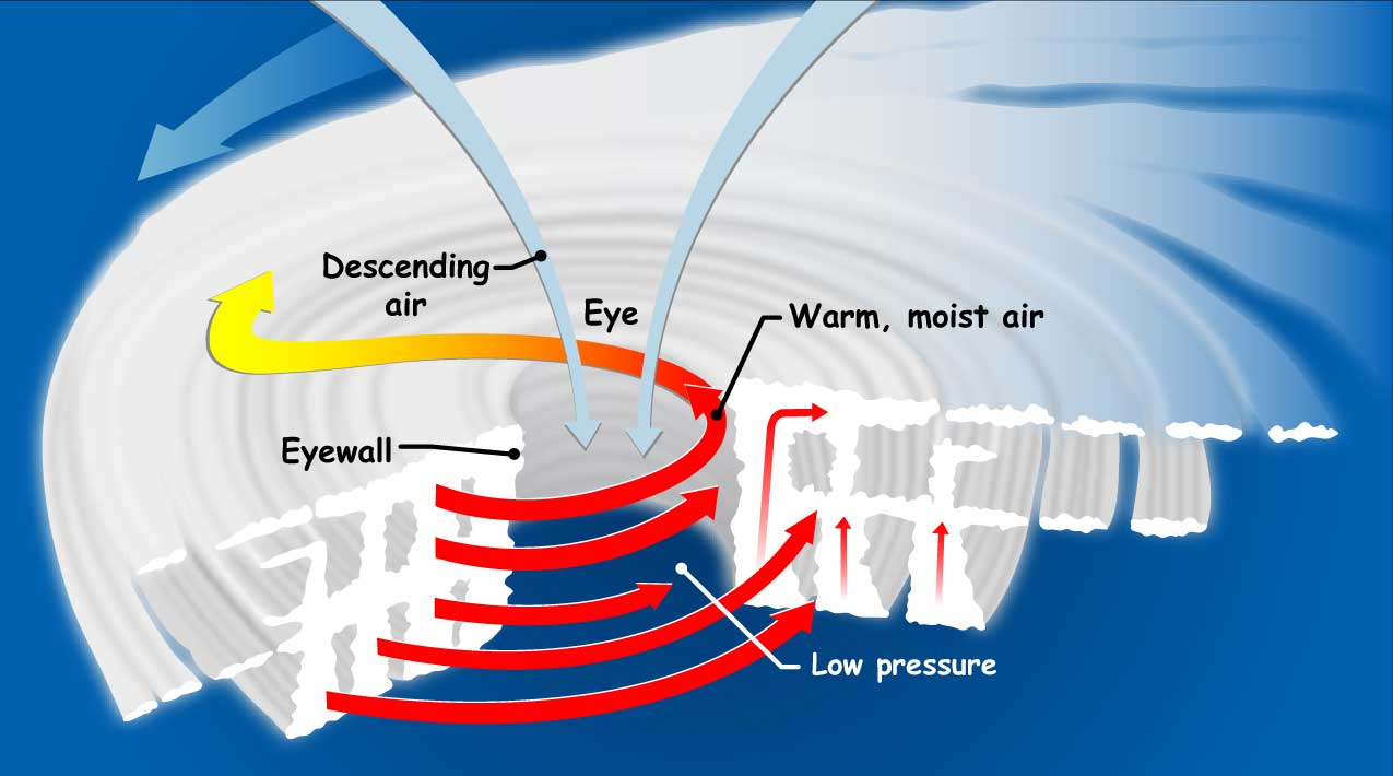
Let's dive into the fascinating vertical world of these powerful storms without getting too bogged down in the science. Think of a hurricane as a giant, incredibly efficient heat engine. It sucks up warm, moist air from the ocean's surface, like a colossal vacuum cleaner. This air, full of energy, rises, cools, and releases its moisture as rain, all while spinning. This continuous upward motion is what gives the hurricane its immense power and, crucially, its remarkable height.
So, Just How High Does This Weather Monster Go?
This is where it gets really mind-boggling. While we experience hurricanes primarily through their horizontal wrath – the devastating winds and torrential rains – their vertical scale is truly astonishing. A fully developed hurricane can reach heights of up to 9 to 15 miles (about 15 to 25 kilometers) into the atmosphere! To put that in perspective, that's roughly:
Must Read
- Three times the height of Mount Everest.
- Significantly higher than where most commercial airplanes cruise (which is typically around 6-7 miles up).
Imagine looking up and seeing a storm cloud that extends from the sea right up to where you’d normally wave at a passing jet. That's the sheer, raw power we're talking about.
This incredible altitude is possible because the hurricane punches through the troposphere – the lowest layer of Earth's atmosphere where all our weather happens – and often reaches the tropopause, which is the boundary between the troposphere and the stratosphere above it. It's like a massive, swirling column of energy. Up there, the rising air hits this invisible ceiling and then spreads outwards, creating those distinctive, high-altitude cirrus cloud shields that give hurricanes their iconic, almost perfectly circular look from space. This outflow helps to vent the storm and maintain its structure, kind of like an exhaust system.
Fun Facts and What It Means For Us
One cool phenomenon related to this vertical reach is something meteorologists call "hot towers." These are extremely tall thunderstorms within the hurricane's eyewall that can shoot up even higher than the rest of the storm, sometimes punching well into the stratosphere. They're often a sign that a hurricane is rapidly intensifying – a signal of a storm getting even more serious, even more quickly.
Culturally, we've always been fascinated by the sheer scale of natural phenomena. Think of classic tales of sailors navigating monstrous waves, or the awe inspired by a massive thunderstorm. A hurricane’s vertical extent adds another layer to this wonder, reminding us that nature operates on a scale far beyond our everyday perception. When a satellite captures that stunning spiral image of a hurricane, it's not just seeing a flat disk; it's looking down on an incredibly tall, rotating cylinder of weather.
Practical Takeaways From High-Flying Storms
While we might not directly experience the storm 15 miles up, understanding this vertical dimension helps us appreciate a few things:
- The Sheer Power: It underscores just how much energy is contained within these systems. This isn't just a breezy day; it's an atmospheric engine on overdrive.
- Predictive Insights: Meteorologists use this knowledge – how high the storm extends, how much outflow it's producing, whether hot towers are forming – to better understand and predict a hurricane's intensity and track. So, when you hear an updated forecast, know that experts are considering these sky-high dynamics.
- All-Encompassing Threat: It reinforces that a hurricane is a total atmospheric event. Its impact isn't just about wind speed at the surface; it's about the entire column of air moving, raining, and surging. This is why official warnings cover everything from storm surge to inland flooding and strong winds.
So, next time you see footage of a hurricane, or perhaps even just a majestic thunderhead building on the horizon, take a moment to look up – figuratively, at least. Remember that these weather systems are not just two-dimensional swirls; they are colossal, awe-inspiring structures that reach incredible heights, shaping our world from the ocean's surface to the very edge of space where Earth's atmosphere begins to thin. It’s a beautiful, humbling reminder of the complex, powerful planet we call home, constantly in motion, revealing its hidden depths and soaring heights, much like the unexpected challenges and triumphs in our own daily lives.